What is the Difference Between a Boundary Survey and a Topographic Survey?
Surveying is a critical component in construction, land development, and real estate transactions. It helps define, measure, and map the land and its features. Understanding the differences between a boundary survey and a topographic survey can be crucial for anyone involved in land dealings or construction projects.
Definition of Surveys
Boundary Survey
A boundary survey is used to determine the precise legal boundaries of a property. This type of survey is crucial when buying, selling, or developing land, as it can prevent disputes by clearly marking property lines. It’s also legally binding and recognized in court.
Topographic Survey
Unlike boundary surveys, topographic surveys focus on mapping the shape and features of the land itself, including its contours, elevations, trees, buildings, and other improvements. This survey is essential for planning and designing construction projects and for environmental and urban planning.
Key Objectives and Uses
Boundary Survey
The primary goal of a boundary survey is to establish the exact perimeters of a property. It is commonly used in legal disputes over land, during property transactions, and for zoning and building permits. Accurate boundary surveys ensure property owners and developers respect neighboring properties and comply with local regulations.
Topographic Survey
Topographic surveys are geared towards providing a detailed map of the natural and built environment. These are particularly useful for architects and engineers in the planning and initial design stages of a project, ensuring that any constructions integrate well with the topography of the land.
Process and Methodology
Boundary Survey
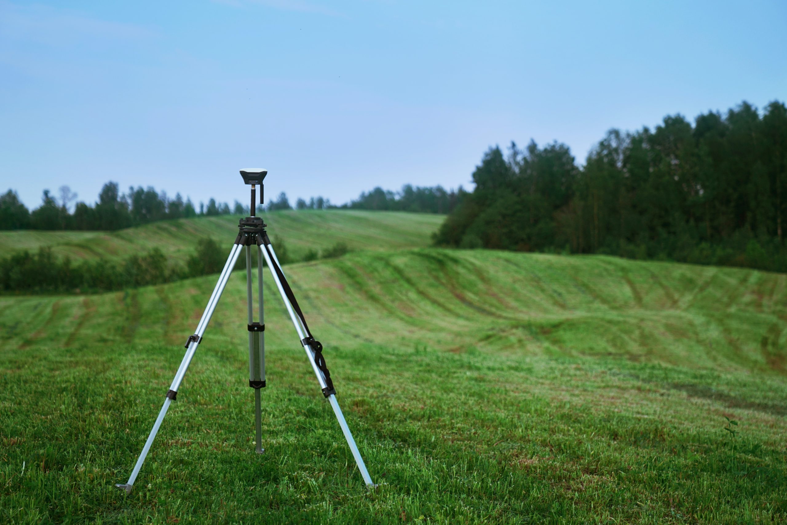
The process begins with a review of historical records and legal documents, followed by extensive field measurements using tools like GPS devices and theodolites to mark boundary lines accurately. This survey is highly detailed and focused on legal property boundaries.
Topographic Survey
This survey collects data about the height and location of the land features using advanced technology such as drones and laser scanners. The result is a detailed three-dimensional map showing all natural and man-made features.
Deliverables
Boundary Survey
Clients receive detailed maps and reports indicating property boundaries, including official documents that can be used in legal settings or for municipal compliance.
Topographic Survey
Deliverables include detailed contour maps and digital terrain models, which are invaluable for any form of land development planning.
Legal and Regulatory Considerations
Boundary Survey
Boundary surveys have significant legal implications, especially when it comes to disputes or any legal documentation for property transactions.
Topographic Survey
These surveys are crucial for adhering to local building codes and regulations, particularly concerning environmental laws and building on complex terrains.
Choosing the Right Survey for Your Needs
Selecting the right survey depends on your specific needs. If you are defining property lines, resolving ownership disputes, or preparing for a sale or development, a boundary survey is essential. For construction and design projects, a topographic survey provides the detailed data necessary for planning and decision-making. For detailed boundary surveys, consider consulting a professional boundary surveyor in Sydney.
Conclusion
Understanding the differences between these surveys and choosing the right one can significantly impact the success of your land-based projects. Whether you’re a developer, builder, or property buyer, the correct survey data can guide your decisions and help manage your land resources effectively.
Keep an eye for more news & updates on NextWeBlog.Com!